View towards the Gower from high ground to the east of Kenfig
Introduction
The photograph on this page of View towards the Gower from high ground to the east of Kenfig by eswales as part of the Geograph project.
The Geograph project started in 2005 with the aim of publishing, organising and preserving representative images for every square kilometre of Great Britain, Ireland and the Isle of Man.

There are currently over 7.5m images from over 14,400 individuals and you can help contribute to the project by visiting https://www.geograph.org.uk
View towards the Gower from high ground to the east of Kenfig
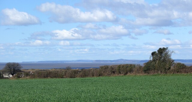
Image: © eswales Taken: 1 Apr 2022
This view over Swansea Bay to the south side of the Gower is from a stretch of public footpath between the lane Heol-y-Broom and Sandville Court.
Images are licensed for reuse under creativecommons.org/licenses/by-sa/2.0
Image Location
Latitude
51.516197
Longitude
-3.719994