A damaged benchmark
Introduction
The photograph on this page of A damaged benchmark by Neville Goodman as part of the Geograph project.
The Geograph project started in 2005 with the aim of publishing, organising and preserving representative images for every square kilometre of Great Britain, Ireland and the Isle of Man.

There are currently over 7.5m images from over 14,400 individuals and you can help contribute to the project by visiting https://www.geograph.org.uk
A damaged benchmark
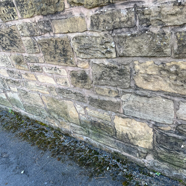
Image: © Neville Goodman Taken: 1 Apr 2022
At this coordinate, there is supposed to be an OS benchmark, but it has been logged as destroyed. The logger makes the note "Wall shows signs of repair, and there is no trace of this mark." https://www.bench-marks.org.uk/bm106864. However, on closer inspection, one can make out the line and arrow on the pale stone diagonally up from the seedling in the lower right corner of the photo. The benchmark was originally 0.5 m above ground level. I suspect that the wall was partly demolished when it was repaired, and this stone found itself in a different position in the wall.
Images are licensed for reuse under creativecommons.org/licenses/by-sa/2.0
Image Location
Latitude
53.391731
Longitude
-3.054511