Field by the lane to Canworthy Water
Introduction
The photograph on this page of Field by the lane to Canworthy Water by Derek Harper as part of the Geograph project.
The Geograph project started in 2005 with the aim of publishing, organising and preserving representative images for every square kilometre of Great Britain, Ireland and the Isle of Man.

There are currently over 7.5m images from over 14,400 individuals and you can help contribute to the project by visiting https://www.geograph.org.uk
Field by the lane to Canworthy Water
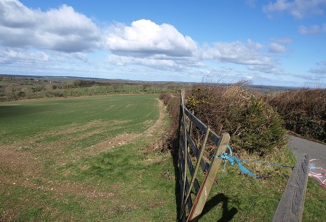
Image: © Derek Harper Taken: 4 Mar 2008
The lane has come from Splatt, and is followed by the parish boundary between Treneglos (left) and Tremaine.
Images are licensed for reuse under creativecommons.org/licenses/by-sa/2.0
Image Location


Leaflet Map data © OpenStreetMap
Latitude
50.679667
Longitude
-4.520852