Upper Marlborough Road
Introduction
The photograph on this page of Upper Marlborough Road by Ian Capper as part of the Geograph project.
The Geograph project started in 2005 with the aim of publishing, organising and preserving representative images for every square kilometre of Great Britain, Ireland and the Isle of Man.

There are currently over 7.5m images from over 14,400 individuals and you can help contribute to the project by visiting https://www.geograph.org.uk
Upper Marlborough Road
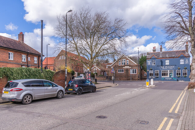
Image: © Ian Capper Taken: 14 Mar 2022
The northern end of Upper Marlborough Road, as it approaches Hatfield Road, the road in the background. On the right is The Peacock (see Image). On the left is a sewer vent pipe - see Image for a close up.
Images are licensed for reuse under creativecommons.org/licenses/by-sa/2.0
Image Location
Latitude
51.753856
Longitude
-0.333513