Looking down Masefield Road, Doncaster
Introduction
The photograph on this page of Looking down Masefield Road, Doncaster by Christine Johnstone as part of the Geograph project.
The Geograph project started in 2005 with the aim of publishing, organising and preserving representative images for every square kilometre of Great Britain, Ireland and the Isle of Man.

There are currently over 7.5m images from over 14,400 individuals and you can help contribute to the project by visiting https://www.geograph.org.uk
Looking down Masefield Road, Doncaster
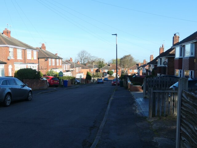
Image: © Christine Johnstone Taken: 9 Apr 2022
There's a reason why this suburb is called Wheatley Hills - the name the area carried when it was farmland.
Images are licensed for reuse under creativecommons.org/licenses/by-sa/2.0
Image Location
Latitude
53.540643
Longitude
-1.094276