Prince Albert Square
Introduction
The photograph on this page of Prince Albert Square by Ian Capper as part of the Geograph project.
The Geograph project started in 2005 with the aim of publishing, organising and preserving representative images for every square kilometre of Great Britain, Ireland and the Isle of Man.

There are currently over 7.5m images from over 14,400 individuals and you can help contribute to the project by visiting https://www.geograph.org.uk
Prince Albert Square
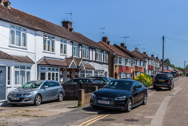
Image: © Ian Capper Taken: 16 Jun 2021
c.1930s housing off Horley Road. The name derives from pub on the opposite side of Horley Road, originally the Prince Albert, now a McDonald's restaurant.
Images are licensed for reuse under creativecommons.org/licenses/by-sa/2.0
Image Location
Latitude
51.213528
Longitude
-0.168893