Carpenders Avenue, Carpenders Park
Introduction
The photograph on this page of Carpenders Avenue, Carpenders Park by Stephen McKay as part of the Geograph project.
The Geograph project started in 2005 with the aim of publishing, organising and preserving representative images for every square kilometre of Great Britain, Ireland and the Isle of Man.

There are currently over 7.5m images from over 14,400 individuals and you can help contribute to the project by visiting https://www.geograph.org.uk
Carpenders Avenue, Carpenders Park
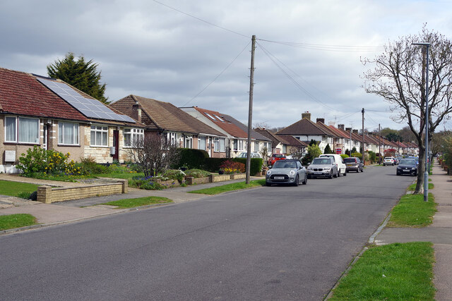
Image: © Stephen McKay Taken: 5 Apr 2022
Carpenders Park is very much an outer London suburb although it is situated outside the Greater London area. The development took place either side of the Second World War and the housing is typical of its time including a significant number of bungalows. The name is derived from a local manor house that was demolished in 1960 but has perhaps survived because it was given to the nearby railway station.
Images are licensed for reuse under creativecommons.org/licenses/by-sa/2.0
Image Location
Latitude
51.629136
Longitude
-0.380392