View towards Tempest Street in Wolverhampton
Introduction
The photograph on this page of View towards Tempest Street in Wolverhampton by Roger Kidd as part of the Geograph project.
The Geograph project started in 2005 with the aim of publishing, organising and preserving representative images for every square kilometre of Great Britain, Ireland and the Isle of Man.

There are currently over 7.5m images from over 14,400 individuals and you can help contribute to the project by visiting https://www.geograph.org.uk
View towards Tempest Street in Wolverhampton
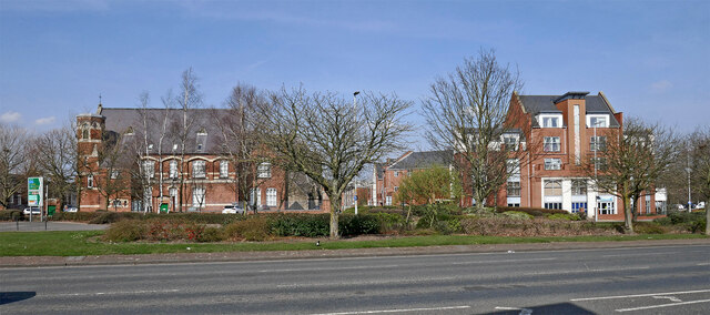
Image: © Roger Kidd Taken: 22 Mar 2022
Looking north across Ring Road St George's, towards Tempest Street. On the left is the former Saint Mary and Saint John's Catholic School dating from 1869. On the right is The Curve apartment development, dating from 2007-2008.
Images are licensed for reuse under creativecommons.org/licenses/by-sa/2.0
Image Location
Latitude
52.581185
Longitude
-2.124809