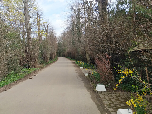
Haroldslea Drive
Introduction
The photograph on this page of Haroldslea Drive by Robin Webster as part of the Geograph project.
The Geograph project started in 2005 with the aim of publishing, organising and preserving representative images for every square kilometre of Great Britain, Ireland and the Isle of Man.
There are currently over 7.5m images from over 14,400 individuals and you can help contribute to the project by visiting https://www.geograph.org.uk

Image: © Robin Webster Taken: 5 Apr 2022
Here a private road giving access to quite a lot of houses and other premises. Also public bridleway 372. 'Haroldslea' and 'Harrowsley' are used for several features in this area, clearly the same root, but which has precedence? The 1870 survey map had the house now calling itself 'Haroldslea House' as 'Harrowsley'. However, the same map marks the area as a detached part of Horne parish, with the name 'Harwardesley or Haroldslegh' - so take your pick.

