Plaque from the Gaitskell flats
Introduction
The photograph on this page of Plaque from the Gaitskell flats by Stephen Craven as part of the Geograph project.
The Geograph project started in 2005 with the aim of publishing, organising and preserving representative images for every square kilometre of Great Britain, Ireland and the Isle of Man.

There are currently over 7.5m images from over 14,400 individuals and you can help contribute to the project by visiting https://www.geograph.org.uk
Plaque from the Gaitskell flats
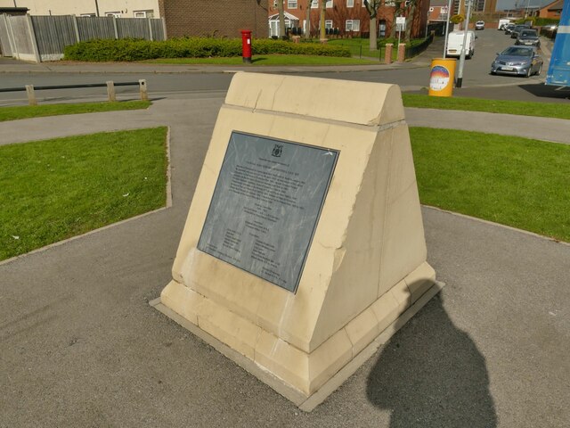
Image: © Stephen Craven Taken: 2 Apr 2022
The plaque on this side of the stone at the centre of a small circular green Image came from the previous, 1960s development of five tower blocks named after Hugh Gaitskell, MP for Leeds South from 1945 to 1963. The flats were demolished in 2010 and replaced with more low-rise housing.
Images are licensed for reuse under creativecommons.org/licenses/by-sa/2.0
Image Location
Latitude
53.78521
Longitude
-1.555726