West Witton, old village school
Introduction
The photograph on this page of West Witton, old village school by Mel Towler as part of the Geograph project.
The Geograph project started in 2005 with the aim of publishing, organising and preserving representative images for every square kilometre of Great Britain, Ireland and the Isle of Man.

There are currently over 7.5m images from over 14,400 individuals and you can help contribute to the project by visiting https://www.geograph.org.uk
West Witton, old village school
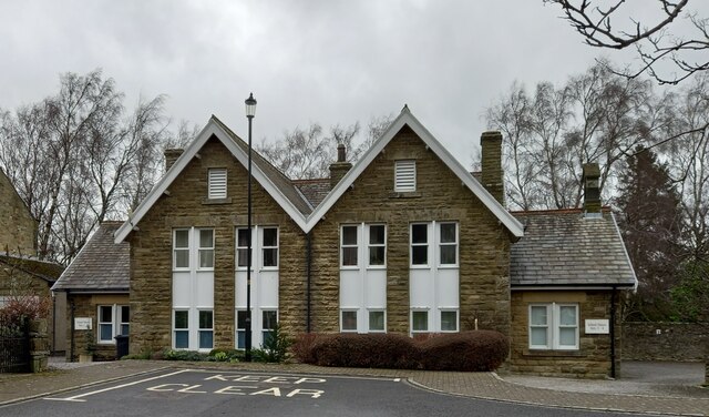
Image: © Mel Towler Taken: 4 Mar 2022
The OS Flush Bracket, S8100, is embedded into a left hand corner stone of the old village school. The property has been converted into a private residence, but the flush bracket remains intact.
Images are licensed for reuse under creativecommons.org/licenses/by-sa/2.0
Image Location
Latitude
54.291732
Longitude
-1.912091