Berengrave Local Nature Reserve, Rainham
Introduction
The photograph on this page of Berengrave Local Nature Reserve, Rainham by pam fray as part of the Geograph project.
The Geograph project started in 2005 with the aim of publishing, organising and preserving representative images for every square kilometre of Great Britain, Ireland and the Isle of Man.

There are currently over 7.5m images from over 14,400 individuals and you can help contribute to the project by visiting https://www.geograph.org.uk
Berengrave Local Nature Reserve, Rainham
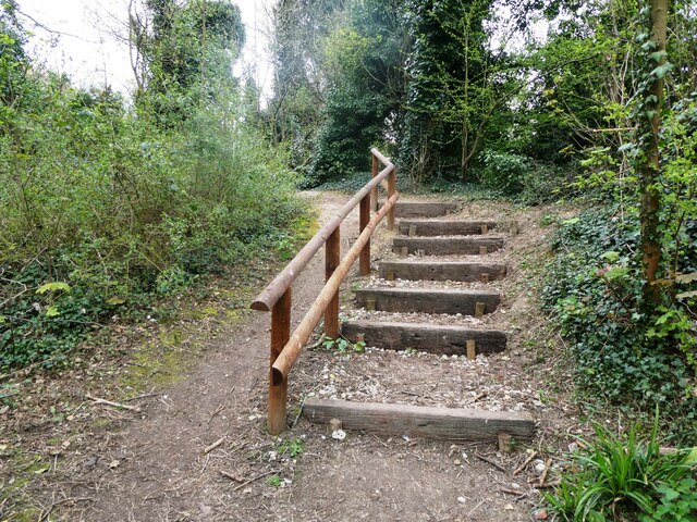
Image: © pam fray Taken: 5 Apr 2022
Steps to the lower part of the reserve. The wooded reserve is an old chalk pit which provided chalk for cement production between 1901 and 1931.
Images are licensed for reuse under creativecommons.org/licenses/by-sa/2.0
Image Location
Latitude
51.37336
Longitude
0.612342