Former chapel, Highley
Introduction
The photograph on this page of Former chapel, Highley by Chris Allen as part of the Geograph project.
The Geograph project started in 2005 with the aim of publishing, organising and preserving representative images for every square kilometre of Great Britain, Ireland and the Isle of Man.

There are currently over 7.5m images from over 14,400 individuals and you can help contribute to the project by visiting https://www.geograph.org.uk
Former chapel, Highley
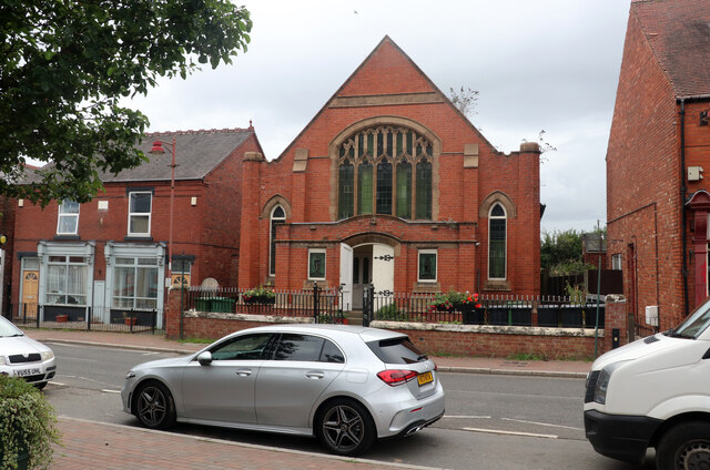
Image: © Chris Allen Taken: 19 Sep 2021
This is on the High Street and has clearly been converted to dwellings.
Images are licensed for reuse under creativecommons.org/licenses/by-sa/2.0
Image Location
Latitude
52.44884
Longitude
-2.382513