At the bottom of Cabstand
Introduction
The photograph on this page of At the bottom of Cabstand by Neil Owen as part of the Geograph project.
The Geograph project started in 2005 with the aim of publishing, organising and preserving representative images for every square kilometre of Great Britain, Ireland and the Isle of Man.

There are currently over 7.5m images from over 14,400 individuals and you can help contribute to the project by visiting https://www.geograph.org.uk
At the bottom of Cabstand
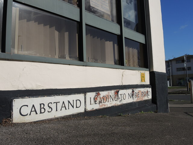
Image: © Neil Owen Taken: 25 Feb 2022
Signs at the junction with the A369. In the nineteenth century this spot was at the water's edge before the dock was built.
Images are licensed for reuse under creativecommons.org/licenses/by-sa/2.0
Image Location
Latitude
51.485831
Longitude
-2.768287