Public footpath approaching Mawdlam from the south east
Introduction
The photograph on this page of Public footpath approaching Mawdlam from the south east by eswales as part of the Geograph project.
The Geograph project started in 2005 with the aim of publishing, organising and preserving representative images for every square kilometre of Great Britain, Ireland and the Isle of Man.

There are currently over 7.5m images from over 14,400 individuals and you can help contribute to the project by visiting https://www.geograph.org.uk
Public footpath approaching Mawdlam from the south east
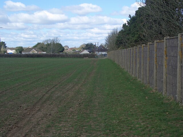
Image: © eswales Taken: 1 Apr 2022
The path here passes along the top of a cutting on the M4 motorway, which runs just beyond and below the row of trees beside the wall.
Images are licensed for reuse under creativecommons.org/licenses/by-sa/2.0
Image Location
Latitude
51.521105
Longitude
-3.716431