Aldin Grange Bridge
Introduction
The photograph on this page of Aldin Grange Bridge by David Robinson as part of the Geograph project.
The Geograph project started in 2005 with the aim of publishing, organising and preserving representative images for every square kilometre of Great Britain, Ireland and the Isle of Man.

There are currently over 7.5m images from over 14,400 individuals and you can help contribute to the project by visiting https://www.geograph.org.uk
Aldin Grange Bridge
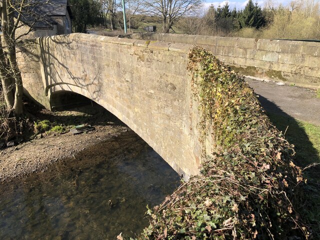
Image: © David Robinson Taken: 27 Mar 2022
C15th bridge on the site of an earlier bridge that was reputedly the spot where John de Coupland captured the Scottish king after the Battle of Neville's Cross (1346), catching sight of the king's reflection in the water as he hid under the bridge.
Images are licensed for reuse under creativecommons.org/licenses/by-sa/2.0
Image Location
Latitude
54.780663
Longitude
-1.613767