Sevington Lakes from Cheeseman?s Green Lane
Introduction
The photograph on this page of Sevington Lakes from Cheeseman?s Green Lane by John Baker as part of the Geograph project.
The Geograph project started in 2005 with the aim of publishing, organising and preserving representative images for every square kilometre of Great Britain, Ireland and the Isle of Man.

There are currently over 7.5m images from over 14,400 individuals and you can help contribute to the project by visiting https://www.geograph.org.uk
Sevington Lakes from Cheeseman?s Green Lane
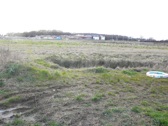
Image: © John Baker Taken: 6 Mar 2022
Planning permission has been granted by Ashford Borough Council under application number 16/00125/AS for “(land south of Captain’s Wood phase); construction of 326 new dwellings with associated access, parking, landscaped areas including a neighbourhood play area, internal roads for the development, details of distributor roads E and F, Waterbrook link road, a district play area north of Captain's Wood and surface water drainage measures *****amended plans received*****”.
Images are licensed for reuse under creativecommons.org/licenses/by-sa/2.0
Image Location


Leaflet Map data © OpenStreetMap
Latitude
51.117335
Longitude
0.900825