Lower Fenemere Farm
Introduction
The photograph on this page of Lower Fenemere Farm by Andrew Shannon as part of the Geograph project.
The Geograph project started in 2005 with the aim of publishing, organising and preserving representative images for every square kilometre of Great Britain, Ireland and the Isle of Man.

There are currently over 7.5m images from over 14,400 individuals and you can help contribute to the project by visiting https://www.geograph.org.uk
Lower Fenemere Farm
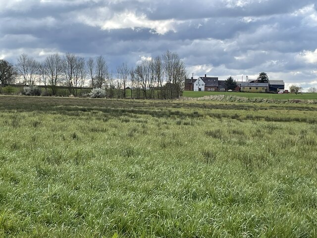
Image: © Andrew Shannon Taken: 31 Mar 2022
Impressive range of farm buildings. The marshy field crossed here had a number of plovers flying out from under my feet.
Images are licensed for reuse under creativecommons.org/licenses/by-sa/2.0
Image Location
Latitude
52.793571
Longitude
-2.815305