Public footpath between Heol-y-Broom and Mawdlam
Introduction
The photograph on this page of Public footpath between Heol-y-Broom and Mawdlam by eswales as part of the Geograph project.
The Geograph project started in 2005 with the aim of publishing, organising and preserving representative images for every square kilometre of Great Britain, Ireland and the Isle of Man.

There are currently over 7.5m images from over 14,400 individuals and you can help contribute to the project by visiting https://www.geograph.org.uk
Public footpath between Heol-y-Broom and Mawdlam
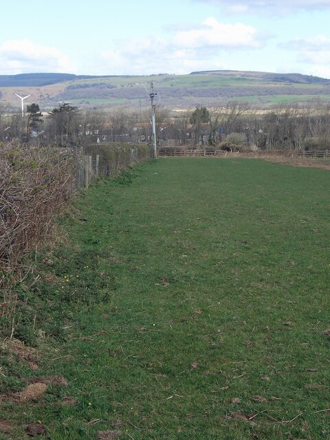
Image: © eswales Taken: 1 Apr 2022
A public footpath descending alongside a hedge from the lane Heol-y-Broom. At the end of the hedge, by the wooden fencing seen, it turns north-westwards to run to Mawdlam beside the M4 motorway (on a stretch of path seen in Image]).
Images are licensed for reuse under creativecommons.org/licenses/by-sa/2.0
Image Location


Leaflet Map data © OpenStreetMap
Latitude
51.519078
Longitude
-3.713616