Old Toll House
Introduction
The photograph on this page of Old Toll House by Mr Red as part of the Geograph project.
The Geograph project started in 2005 with the aim of publishing, organising and preserving representative images for every square kilometre of Great Britain, Ireland and the Isle of Man.

There are currently over 7.5m images from over 14,400 individuals and you can help contribute to the project by visiting https://www.geograph.org.uk
Old Toll House
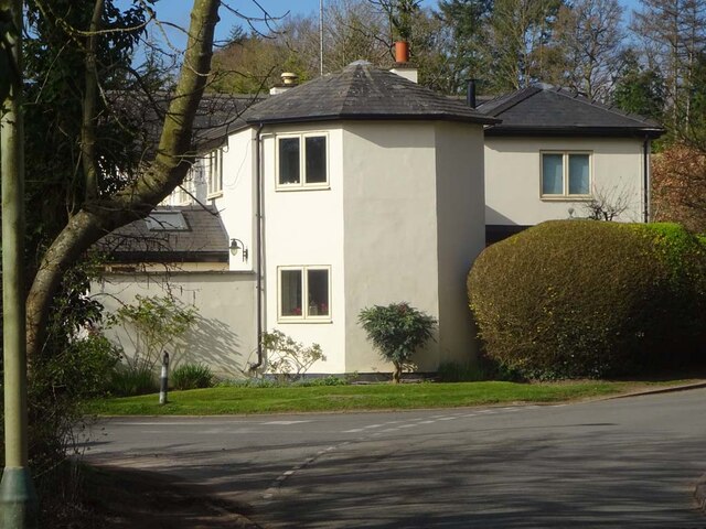
Image: © Mr Red Taken: 1 Apr 2022
Turnpike House on the corner of Harp Hill and Greenway Lane. This was probably guarding the turnpike set up by the Cheltenham Turnpike Trust. Milestone Society National ID: GL.CHA
Images are licensed for reuse under creativecommons.org/licenses/by-sa/2.0
Image Location
Latitude
51.897144
Longitude
-2.039686