Other route with public access at Kenfig
Introduction
The photograph on this page of Other route with public access at Kenfig by eswales as part of the Geograph project.
The Geograph project started in 2005 with the aim of publishing, organising and preserving representative images for every square kilometre of Great Britain, Ireland and the Isle of Man.

There are currently over 7.5m images from over 14,400 individuals and you can help contribute to the project by visiting https://www.geograph.org.uk
Other route with public access at Kenfig
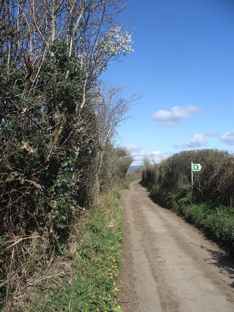
Image: © eswales Taken: 1 Apr 2022
This lane has the status of an ‘other route with public access’ in Ordnance Survey mapping (as denoted by the red dots on the 1: 50 000 map on this page, and green ones in 1: 25 000 mapping). A footpath sign is seen on the right hand side of it in the image. This lies at the western end of a stretch of public footpath to Heol-y-Broom, a lane which runs between South Cornelly and Mawdlam.
Images are licensed for reuse under creativecommons.org/licenses/by-sa/2.0
Image Location


Leaflet Map data © OpenStreetMap
Latitude
51.517575
Longitude
-3.724081