Ifield Mill Stream and Ifield Brook
Introduction
The photograph on this page of Ifield Mill Stream and Ifield Brook by Robin Webster as part of the Geograph project.
The Geograph project started in 2005 with the aim of publishing, organising and preserving representative images for every square kilometre of Great Britain, Ireland and the Isle of Man.

There are currently over 7.5m images from over 14,400 individuals and you can help contribute to the project by visiting https://www.geograph.org.uk
Ifield Mill Stream and Ifield Brook
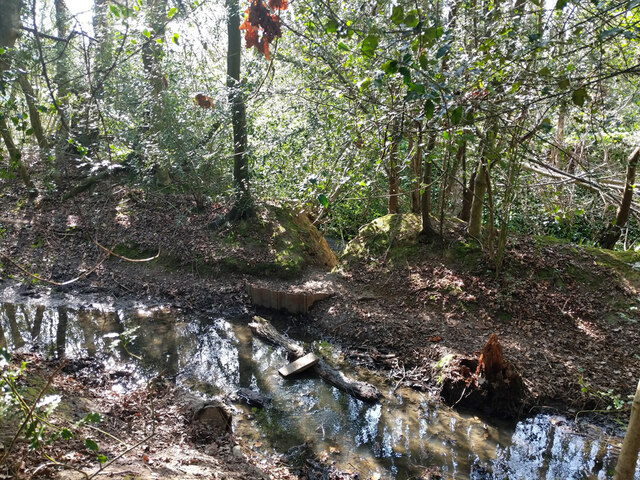
Image: © Robin Webster Taken: 26 Mar 2022
They run very close together here, and here there is an overflow connection. It seems very makeshift, with a bit of sheet piling that seems easily eroded away behind.
Images are licensed for reuse under creativecommons.org/licenses/by-sa/2.0
Image Location
Latitude
51.116789
Longitude
-0.222343