Tenements, Elderpark Street
Introduction
The photograph on this page of Tenements, Elderpark Street by Richard Sutcliffe as part of the Geograph project.
The Geograph project started in 2005 with the aim of publishing, organising and preserving representative images for every square kilometre of Great Britain, Ireland and the Isle of Man.

There are currently over 7.5m images from over 14,400 individuals and you can help contribute to the project by visiting https://www.geograph.org.uk
Tenements, Elderpark Street
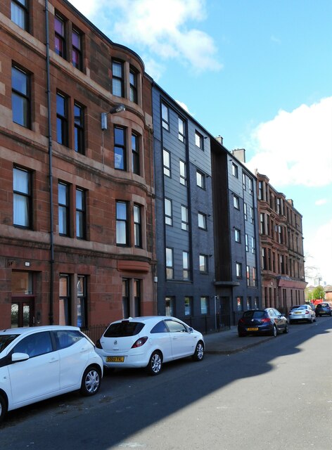
Image: © Richard Sutcliffe Taken: 30 Mar 2022
The modern tenement in the middle marks the site of the former Congregational church which used to occupy the site. It was demolished in 2008. See Canmore https://canmore.org.uk/site/294145/glasgow-elderpark-street-congregational-church.
Images are licensed for reuse under creativecommons.org/licenses/by-sa/2.0
Image Location
Latitude
55.861195
Longitude
-4.321715