2008 : Upper Langridge, north of Lansdown
Introduction
The photograph on this page of 2008 : Upper Langridge, north of Lansdown by Maurice Pullin as part of the Geograph project.
The Geograph project started in 2005 with the aim of publishing, organising and preserving representative images for every square kilometre of Great Britain, Ireland and the Isle of Man.

There are currently over 7.5m images from over 14,400 individuals and you can help contribute to the project by visiting https://www.geograph.org.uk
2008 : Upper Langridge, north of Lansdown
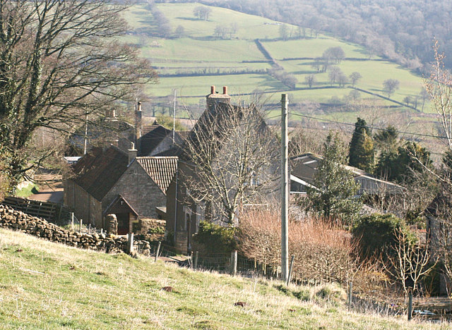
Image: © Maurice Pullin Taken: 4 Mar 2008
We are looking at Upper Langridge from the driveway approaching Upper Langridge Farm. The fields beyond are on the other side of the valley, the A46 to Cheltenham is above the woods on the right and Charmy Down is above that.
Images are licensed for reuse under creativecommons.org/licenses/by-sa/2.0
Image Location
Latitude
51.421872
Longitude
-2.392856