The top of Shepton Walk
Introduction
The photograph on this page of The top of Shepton Walk by Neil Owen as part of the Geograph project.
The Geograph project started in 2005 with the aim of publishing, organising and preserving representative images for every square kilometre of Great Britain, Ireland and the Isle of Man.

There are currently over 7.5m images from over 14,400 individuals and you can help contribute to the project by visiting https://www.geograph.org.uk
The top of Shepton Walk
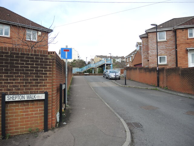
Image: © Neil Owen Taken: 17 Feb 2022
The road is an interwar period development, but the continuation from here to the railway bridge is very much twenty-first century. The houses stand on what were several sets of sidings.
Images are licensed for reuse under creativecommons.org/licenses/by-sa/2.0
Image Location
Latitude
51.434465
Longitude
-2.603283