Broad o' th' Lane
Introduction
The photograph on this page of Broad o' th' Lane by philandju as part of the Geograph project.
The Geograph project started in 2005 with the aim of publishing, organising and preserving representative images for every square kilometre of Great Britain, Ireland and the Isle of Man.

There are currently over 7.5m images from over 14,400 individuals and you can help contribute to the project by visiting https://www.geograph.org.uk
Broad o' th' Lane
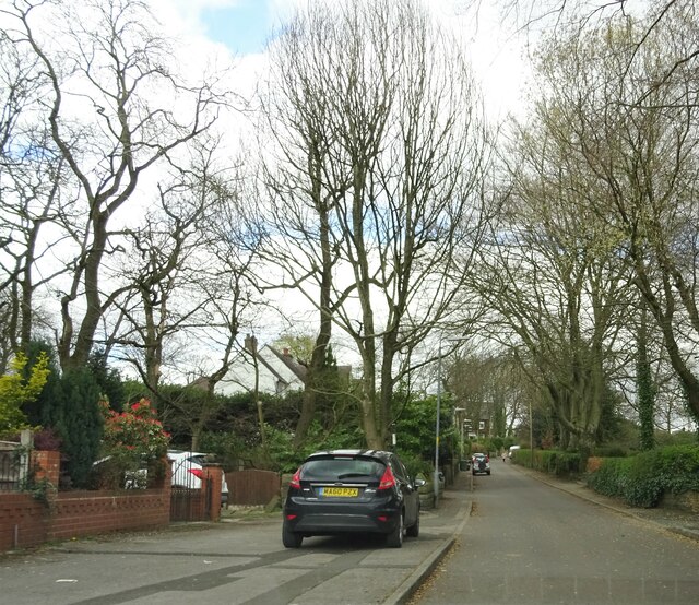
Image: © philandju Taken: 1 Apr 2022
Originally the lane connected Moss Bank Way (A58) to Belmont Road (A675). It became a rat run for motorists avoiding the notoriously busy Astley Bridge junction of the A58, the A675 and the A666 a little further to the east. No doubt to the relief of residents, it has now been made into a cul de sac half way up its length, thus preventing through traffic.
Images are licensed for reuse under creativecommons.org/licenses/by-sa/2.0
Image Location
Latitude
53.601691
Longitude
-2.438342