Hydro Road, Port Bannatyne
Introduction
The photograph on this page of Hydro Road, Port Bannatyne by Thomas Nugent as part of the Geograph project.
The Geograph project started in 2005 with the aim of publishing, organising and preserving representative images for every square kilometre of Great Britain, Ireland and the Isle of Man.

There are currently over 7.5m images from over 14,400 individuals and you can help contribute to the project by visiting https://www.geograph.org.uk
Hydro Road, Port Bannatyne
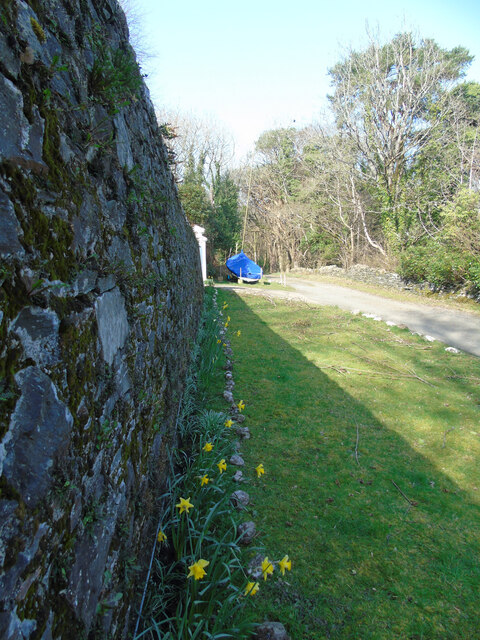
Image: © Thomas Nugent Taken: 23 Mar 2022
Near the end of the tarmac road at Rhoda, which is behind the wall on the left. The road continues as a dirt track to join Castle Road.
Images are licensed for reuse under creativecommons.org/licenses/by-sa/2.0
Image Location
Latitude
55.85775
Longitude
-5.069438