Low cloud base
Introduction
The photograph on this page of Low cloud base by Ian Paterson as part of the Geograph project.
The Geograph project started in 2005 with the aim of publishing, organising and preserving representative images for every square kilometre of Great Britain, Ireland and the Isle of Man.

There are currently over 7.5m images from over 14,400 individuals and you can help contribute to the project by visiting https://www.geograph.org.uk
Low cloud base
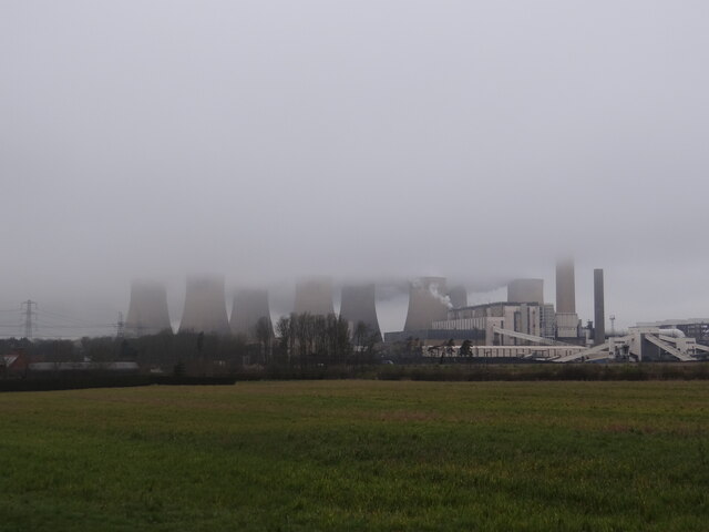
Image: © Ian Paterson Taken: 29 Mar 2022
Ratcliffe-on-Soar power station from Winking Hill Farm entrance.
Images are licensed for reuse under creativecommons.org/licenses/by-sa/2.0
Image Location
Latitude
52.864158
Longitude
-1.255331