Parrock Lane, Upper Hartfield
Introduction
The photograph on this page of Parrock Lane, Upper Hartfield by Simon Carey as part of the Geograph project.
The Geograph project started in 2005 with the aim of publishing, organising and preserving representative images for every square kilometre of Great Britain, Ireland and the Isle of Man.

There are currently over 7.5m images from over 14,400 individuals and you can help contribute to the project by visiting https://www.geograph.org.uk
Parrock Lane, Upper Hartfield
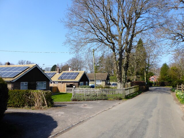
Image: © Simon Carey Taken: 26 Mar 2022
The lane heads north from the B2110 then west to provide access to the small hamlets of Upper and Lower Parrock before meeting the B2110 again north of Colemans Hatch.
Images are licensed for reuse under creativecommons.org/licenses/by-sa/2.0
Image Location
Latitude
51.093801
Longitude
0.090821