Mock Lane
Introduction
The photograph on this page of Mock Lane by John Baker as part of the Geograph project.
The Geograph project started in 2005 with the aim of publishing, organising and preserving representative images for every square kilometre of Great Britain, Ireland and the Isle of Man.

There are currently over 7.5m images from over 14,400 individuals and you can help contribute to the project by visiting https://www.geograph.org.uk
Mock Lane
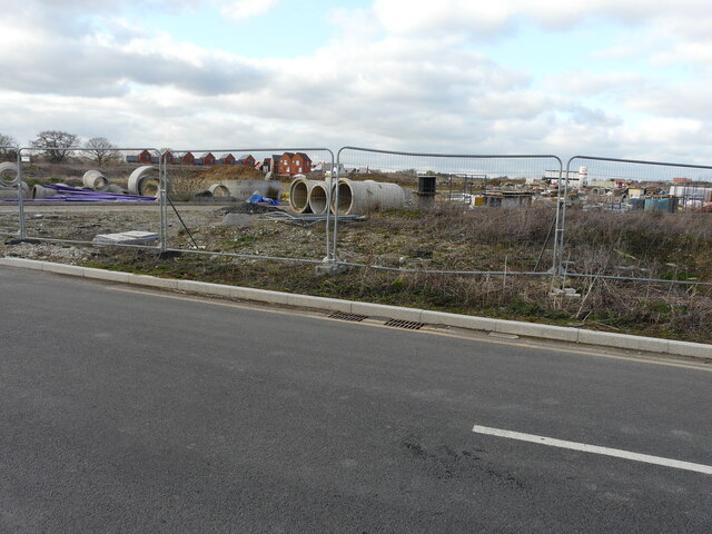
Image: © John Baker Taken: 6 Mar 2022
The view, from the lane, shows the ever increasing number of houses, which have been constructed. The lane is part of the Chilmington Green development for which planning permission has been granted by Ashford Borough Council under application number 12/00400/AS, for an “outline application for a comprehensive mixed use development comprising: up to 5,750 residential units”.
Images are licensed for reuse under creativecommons.org/licenses/by-sa/2.0
Image Location
Latitude
51.133136
Longitude
0.821189