National Cycle Route 75
Introduction
The photograph on this page of National Cycle Route 75 by Richard Sutcliffe as part of the Geograph project.
The Geograph project started in 2005 with the aim of publishing, organising and preserving representative images for every square kilometre of Great Britain, Ireland and the Isle of Man.

There are currently over 7.5m images from over 14,400 individuals and you can help contribute to the project by visiting https://www.geograph.org.uk
National Cycle Route 75
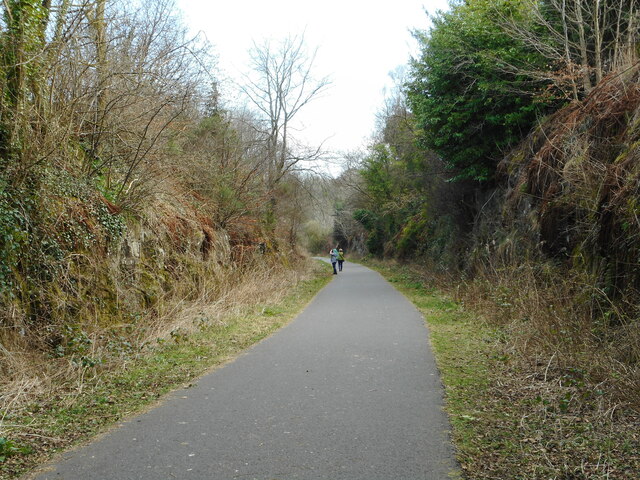
Image: © Richard Sutcliffe Taken: 25 Mar 2022
A cutting on part of the former Greenock and Ayrshire Railway line at Bridge of Weir. It now forms a footpath and National Cycle Route.
Images are licensed for reuse under creativecommons.org/licenses/by-sa/2.0
Image Location
Latitude
55.856495
Longitude
-4.580145