Home Farm
Introduction
The photograph on this page of Home Farm by Ian Hawfinch as part of the Geograph project.
The Geograph project started in 2005 with the aim of publishing, organising and preserving representative images for every square kilometre of Great Britain, Ireland and the Isle of Man.

There are currently over 7.5m images from over 14,400 individuals and you can help contribute to the project by visiting https://www.geograph.org.uk
Home Farm
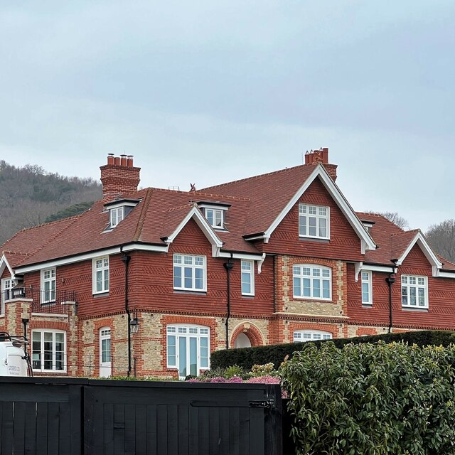
Image: © Ian Hawfinch Taken: 28 Mar 2022
"Home Farm" is the name of this house. This area is labelled "Blackdown Farm" on the OS Map. This, I assume, is all part of the Blackdown Estate. The hill behind the house is Black Down. I've uploaded another, more distant, photo of this house here: https://www.geograph.org.uk/photo/7128852
Images are licensed for reuse under creativecommons.org/licenses/by-sa/2.0
Image Location


Leaflet Map data © OpenStreetMap
Latitude
51.049365
Longitude
-0.686605