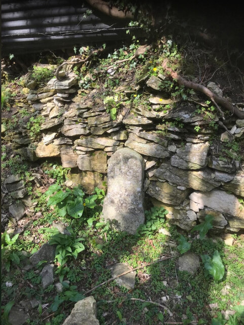
Old Boundary Stone, Minchinhampton Common
Introduction
The photograph on this page of Old Boundary Stone, Minchinhampton Common by Ian Kenny Roberts as part of the Geograph project.
The Geograph project started in 2005 with the aim of publishing, organising and preserving representative images for every square kilometre of Great Britain, Ireland and the Isle of Man.
There are currently over 7.5m images from over 14,400 individuals and you can help contribute to the project by visiting https://www.geograph.org.uk

Image: © Ian Kenny Roberts Taken: 28 Mar 2022
Along Gloucestershire footpath MMH26 against the property wall of "Knapping", in a triangle bounded by: Jacob's Knowle, Claycombe and Beechknapp. The Common is owned by the National Trust, and is principally for: recreation, a golf course on part of it, and grazing for cattle in the warmer months which is administered by an officer called a "hayward". Inscription: H C / 1865 Milestone Society National ID: GL_MINCH03em

