Covered well or drain north of Hackenden Lane
Introduction
The photograph on this page of Covered well or drain north of Hackenden Lane by Robin Webster as part of the Geograph project.
The Geograph project started in 2005 with the aim of publishing, organising and preserving representative images for every square kilometre of Great Britain, Ireland and the Isle of Man.

There are currently over 7.5m images from over 14,400 individuals and you can help contribute to the project by visiting https://www.geograph.org.uk
Covered well or drain north of Hackenden Lane
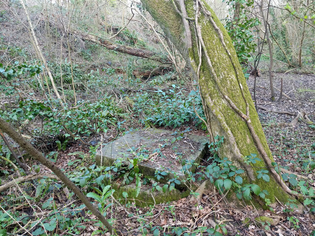
Image: © Robin Webster Taken: 23 Mar 2022
A vertical concrete pipe, crudely closed with a heavy concrete slab. I was looking for any trace of the gas works that was once mapped here, but may have got the exact spot wrong. This looks more like a drainage installation than anything gassy.
Images are licensed for reuse under creativecommons.org/licenses/by-sa/2.0
Image Location
Latitude
51.13444
Longitude
-0.01169