Footpath and disused railway line in Pontyberem
Introduction
The photograph on this page of Footpath and disused railway line in Pontyberem by Gareth James as part of the Geograph project.
The Geograph project started in 2005 with the aim of publishing, organising and preserving representative images for every square kilometre of Great Britain, Ireland and the Isle of Man.

There are currently over 7.5m images from over 14,400 individuals and you can help contribute to the project by visiting https://www.geograph.org.uk
Footpath and disused railway line in Pontyberem
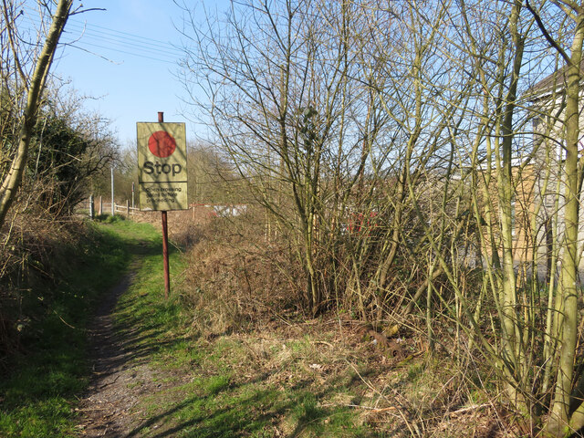
Image: © Gareth James Taken: 26 Mar 2022
The rails are still in situ in the vegetation on the right, and the board that instructed drivers of trains to stop still stands. However, this section of the Burry Port & Gwendraeth Valley line saw its last train in 1996 and its route is now a public footpath.
Images are licensed for reuse under creativecommons.org/licenses/by-sa/2.0
Image Location
Latitude
51.780781
Longitude
-4.164091