Rothwells Close
Introduction
The photograph on this page of Rothwells Close by Bill Nicholls as part of the Geograph project.
The Geograph project started in 2005 with the aim of publishing, organising and preserving representative images for every square kilometre of Great Britain, Ireland and the Isle of Man.

There are currently over 7.5m images from over 14,400 individuals and you can help contribute to the project by visiting https://www.geograph.org.uk
Rothwells Close
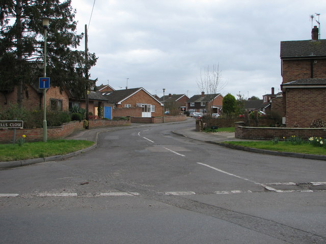
Image: © Bill Nicholls Taken: 2 Mar 2008
Rothwells Close Cholsey, this estate was built in the 1960s on the site of an old nursery. I think Caps Lane came out around here before the advent of the Wallingford Road.
Images are licensed for reuse under creativecommons.org/licenses/by-sa/2.0
Image Location
Latitude
51.576719
Longitude
-1.150427