Red K6 Telephone Box in Nether Winchendon
Introduction
The photograph on this page of Red K6 Telephone Box in Nether Winchendon by David Hillas as part of the Geograph project.
The Geograph project started in 2005 with the aim of publishing, organising and preserving representative images for every square kilometre of Great Britain, Ireland and the Isle of Man.

There are currently over 7.5m images from over 14,400 individuals and you can help contribute to the project by visiting https://www.geograph.org.uk
Red K6 Telephone Box in Nether Winchendon
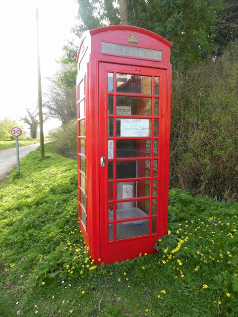
Image: © David Hillas Taken: 26 Mar 2022
This telephone box is located west of Nether Winchendon village, its postcode being HP18 0EA. A white notice on the door mentions that the box is a Food Bank Collection Point. To the left of the photo is a 30mph speed limit sign.
Images are licensed for reuse under creativecommons.org/licenses/by-sa/2.0
Image Location
Latitude
51.802229
Longitude
-0.940692