Llwybr ceffyl Cwmclyd / Cwmclyd bridleway
Introduction
The photograph on this page of Llwybr ceffyl Cwmclyd / Cwmclyd bridleway by Alan Richards as part of the Geograph project.
The Geograph project started in 2005 with the aim of publishing, organising and preserving representative images for every square kilometre of Great Britain, Ireland and the Isle of Man.

There are currently over 7.5m images from over 14,400 individuals and you can help contribute to the project by visiting https://www.geograph.org.uk
Llwybr ceffyl Cwmclyd / Cwmclyd bridleway
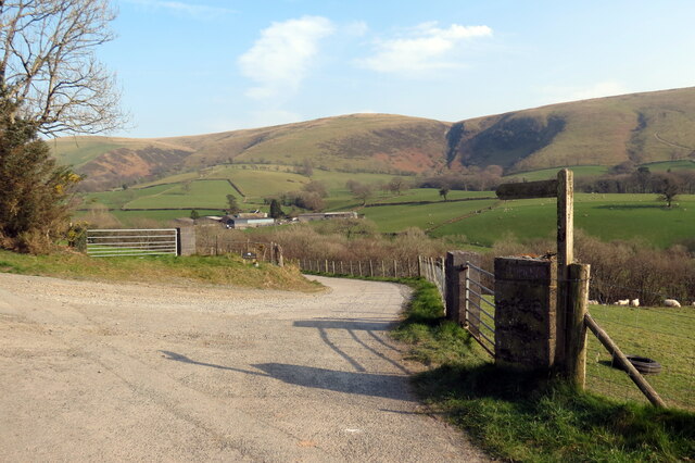
Image: © Alan Richards Taken: 25 Mar 2022
Ffordd fynedfa a llwybr ceffyl yn gadael heol fach wledig. Yr ucheldir yn y pellter yw Mynydd Myddfai. An access road and bridleway exits a small rural road. The high ground in the distance is Mynydd Myddfai.
Images are licensed for reuse under creativecommons.org/licenses/by-sa/2.0
Image Location
Latitude
51.95769
Longitude
-3.763624