A ruined barn at Gellilwyd Fawr
Introduction
The photograph on this page of A ruined barn at Gellilwyd Fawr by John Lucas as part of the Geograph project.
The Geograph project started in 2005 with the aim of publishing, organising and preserving representative images for every square kilometre of Great Britain, Ireland and the Isle of Man.

There are currently over 7.5m images from over 14,400 individuals and you can help contribute to the project by visiting https://www.geograph.org.uk
A ruined barn at Gellilwyd Fawr
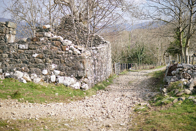
Image: © John Lucas Taken: 24 Mar 2022
Viewed from the start of the green lane over the hills to Kings Youth Hostel.
Images are licensed for reuse under creativecommons.org/licenses/by-sa/2.0
Image Location
Latitude
52.732075
Longitude
-3.916173