Wharncliffe Road, Loughborough
Introduction
The photograph on this page of Wharncliffe Road, Loughborough by Stephen McKay as part of the Geograph project.
The Geograph project started in 2005 with the aim of publishing, organising and preserving representative images for every square kilometre of Great Britain, Ireland and the Isle of Man.

There are currently over 7.5m images from over 14,400 individuals and you can help contribute to the project by visiting https://www.geograph.org.uk
Wharncliffe Road, Loughborough
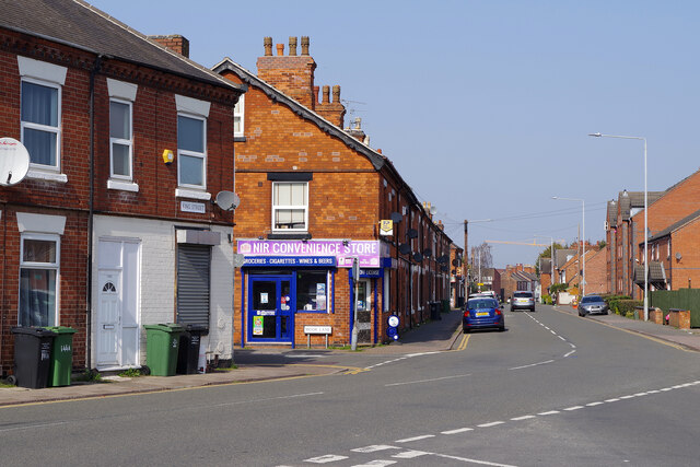
Image: © Stephen McKay Taken: 23 Mar 2022
This area of the town includes a large number of tightly-packed terraced houses. A modern version of the corner shop stands on the corner of Moor Lane - the NIR Convenience Store.
Images are licensed for reuse under creativecommons.org/licenses/by-sa/2.0
Image Location
Latitude
52.770202
Longitude
-1.197942