Approaching HS2 site access, Crackley Lane, near Westwood Heath
Introduction
The photograph on this page of Approaching HS2 site access, Crackley Lane, near Westwood Heath by Robin Stott as part of the Geograph project.
The Geograph project started in 2005 with the aim of publishing, organising and preserving representative images for every square kilometre of Great Britain, Ireland and the Isle of Man.

There are currently over 7.5m images from over 14,400 individuals and you can help contribute to the project by visiting https://www.geograph.org.uk
Approaching HS2 site access, Crackley Lane, near Westwood Heath
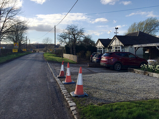
Image: © Robin Stott Taken: 26 Mar 2021
The site access, signed further along the road, is seen in Image
Images are licensed for reuse under creativecommons.org/licenses/by-sa/2.0
Image Location
Latitude
52.379888
Longitude
-1.59067