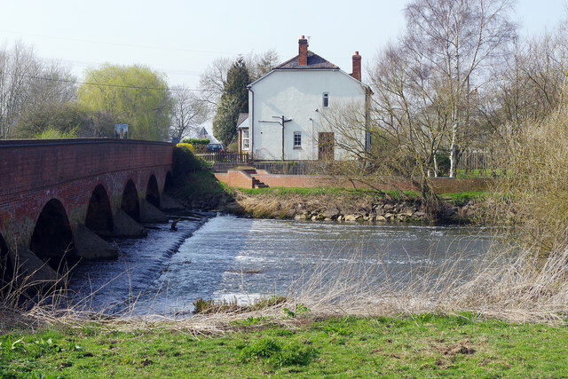
Cotes Bridge
Introduction
The photograph on this page of Cotes Bridge by Stephen McKay as part of the Geograph project.
The Geograph project started in 2005 with the aim of publishing, organising and preserving representative images for every square kilometre of Great Britain, Ireland and the Isle of Man.
There are currently over 7.5m images from over 14,400 individuals and you can help contribute to the project by visiting https://www.geograph.org.uk

Image: © Stephen McKay Taken: 23 Mar 2022
Cotes Bridge carries the A60 over the River Soar. The structure dates from the 18th century, although some fragments are of medieval date and the parapet was rebuilt in the 20th century. It is grade II listed. The bridge was the location of a minor battle in 1644 during the Civil War when Royalist forces were trying to reach Newark to relieve the garrison there. They were held up by the Parliamentary army here and initially forced back into Loughborough, but after word was received that the Royalist garrison at Ashby castle had been reinforced, the Parliamentarians withdrew allowing the Royalists to continue on to Newark.

