Cattle grid by Sandy Lane
Introduction
The photograph on this page of Cattle grid by Sandy Lane by Derek Harper as part of the Geograph project.
The Geograph project started in 2005 with the aim of publishing, organising and preserving representative images for every square kilometre of Great Britain, Ireland and the Isle of Man.

There are currently over 7.5m images from over 14,400 individuals and you can help contribute to the project by visiting https://www.geograph.org.uk
Cattle grid by Sandy Lane
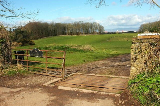
Image: © Derek Harper Taken: 17 Mar 2022
At the start of the entrance track for Old Park House and Parkwood House. On the left is Three Cornered Wood. Poultry are on the right.
Images are licensed for reuse under creativecommons.org/licenses/by-sa/2.0
Image Location
Latitude
51.455462
Longitude
-2.676961