Happerton Farm
Introduction
The photograph on this page of Happerton Farm by Derek Harper as part of the Geograph project.
The Geograph project started in 2005 with the aim of publishing, organising and preserving representative images for every square kilometre of Great Britain, Ireland and the Isle of Man.

There are currently over 7.5m images from over 14,400 individuals and you can help contribute to the project by visiting https://www.geograph.org.uk
Happerton Farm
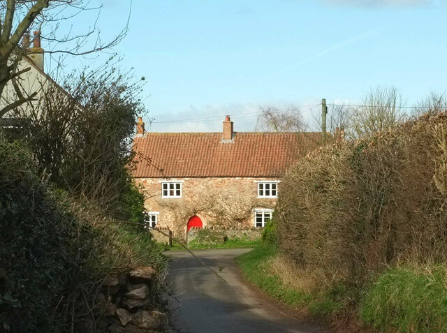
Image: © Derek Harper Taken: 17 Mar 2022
The farmhouse is listed. "Dated 1614, but probably C16 ..." https://historicengland.org.uk/listing/the-list/list-entry/1129827?section=official-list-entry . Happerton Lane is followed by the Gordano Round.
Images are licensed for reuse under creativecommons.org/licenses/by-sa/2.0
Image Location


Leaflet Map data © OpenStreetMap
Latitude
51.468159
Longitude
-2.689241