The B769
Introduction
The photograph on this page of The B769 by Malcolm Neal as part of the Geograph project.
The Geograph project started in 2005 with the aim of publishing, organising and preserving representative images for every square kilometre of Great Britain, Ireland and the Isle of Man.

There are currently over 7.5m images from over 14,400 individuals and you can help contribute to the project by visiting https://www.geograph.org.uk
The B769
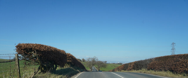
Image: © Malcolm Neal Taken: 20 Mar 2022
The fields here look much greener than those even a few hundred yards behind.
Images are licensed for reuse under creativecommons.org/licenses/by-sa/2.0
Image Location
Latitude
55.764991
Longitude
-4.375294