Foothpath towards Hills Farm
Introduction
The photograph on this page of Foothpath towards Hills Farm by Tim Heaton as part of the Geograph project.
The Geograph project started in 2005 with the aim of publishing, organising and preserving representative images for every square kilometre of Great Britain, Ireland and the Isle of Man.

There are currently over 7.5m images from over 14,400 individuals and you can help contribute to the project by visiting https://www.geograph.org.uk
Foothpath towards Hills Farm
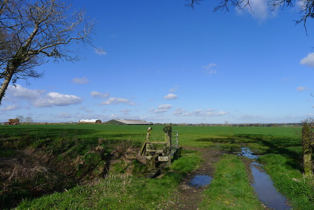
Image: © Tim Heaton Taken: 17 Mar 2022
The path runs from Hose to Colston Bassett
Images are licensed for reuse under creativecommons.org/licenses/by-sa/2.0
Image Location
Latitude
52.879081
Longitude
-0.946594