Ruddington
Introduction
The photograph on this page of Ruddington by Alan Murray-Rust as part of the Geograph project.
The Geograph project started in 2005 with the aim of publishing, organising and preserving representative images for every square kilometre of Great Britain, Ireland and the Isle of Man.

There are currently over 7.5m images from over 14,400 individuals and you can help contribute to the project by visiting https://www.geograph.org.uk
Ruddington
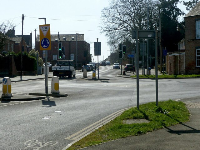
Image: © Alan Murray-Rust Taken: 18 Mar 2022
Recreating this 'First' for the square https://www.geograph.org.uk/photo/182048 The mini-roundabout layout was installed around 2017, and the prominent red gable on the left of Garth's view has been demolished.
Images are licensed for reuse under creativecommons.org/licenses/by-sa/2.0
Image Location
Latitude
52.894376
Longitude
-1.150167