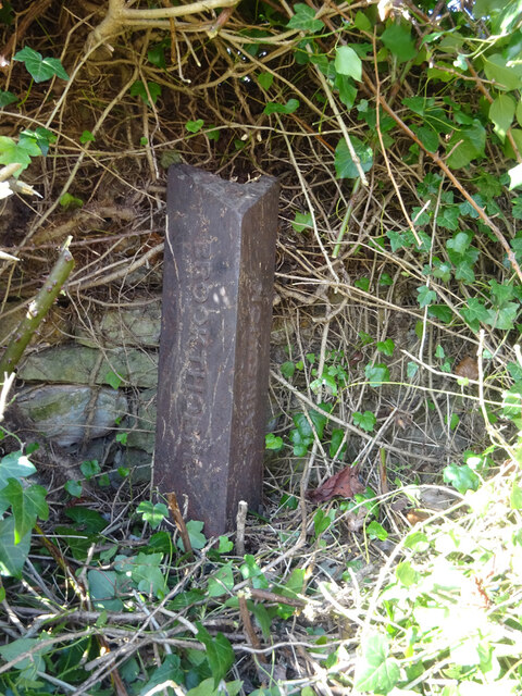
Old Boundary Post, Edge
Introduction
The photograph on this page of Old Boundary Post, Edge by Mr Red as part of the Geograph project.
The Geograph project started in 2005 with the aim of publishing, organising and preserving representative images for every square kilometre of Great Britain, Ireland and the Isle of Man.
There are currently over 7.5m images from over 14,400 individuals and you can help contribute to the project by visiting https://www.geograph.org.uk

Image: © Mr Red Taken: 20 Mar 2022
Cast iron boundary marker, defining a pre 1936 boundary between Brookthorpe and Painswick parish administrations. It still marks the modern Harescombe/Painswick boundary. It lies less than 10yds from an older boundary stone Image The top triangular flat probably defines the "Gloucester Hundred Division" responsible for roads and such in olden times. Inscription: G (?) / D // Brookthorpe // Painswick Grade II Listed see https://historicengland.org.uk/listing/the-list/list-entry/1154337 Milestone Society National ID: GL_GLSD05pb

