Paved path towards Low House
Introduction
The photograph on this page of Paved path towards Low House by Stephen Craven as part of the Geograph project.
The Geograph project started in 2005 with the aim of publishing, organising and preserving representative images for every square kilometre of Great Britain, Ireland and the Isle of Man.

There are currently over 7.5m images from over 14,400 individuals and you can help contribute to the project by visiting https://www.geograph.org.uk
Paved path towards Low House
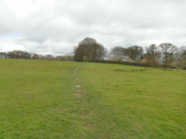
Image: © Stephen Craven Taken: 12 Mar 2022
The path forms part of the Bronte Way, and is probably paved throughout although grass has grown over many of the stones. Such paved paths or 'causeys' are common in Calderdale although this is just over the border into Bradford district.
Images are licensed for reuse under creativecommons.org/licenses/by-sa/2.0
Image Location
Latitude
53.766574
Longitude
-1.820952