Iron gate at Stocks Lane Bottom
Introduction
The photograph on this page of Iron gate at Stocks Lane Bottom by Stephen Craven as part of the Geograph project.
The Geograph project started in 2005 with the aim of publishing, organising and preserving representative images for every square kilometre of Great Britain, Ireland and the Isle of Man.

There are currently over 7.5m images from over 14,400 individuals and you can help contribute to the project by visiting https://www.geograph.org.uk
Iron gate at Stocks Lane Bottom
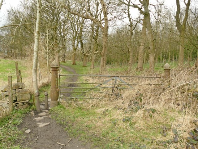
Image: © Stephen Craven Taken: 12 Mar 2022
The farm called Stocks Lane Bottom has been demolished, but this ornate gate on its access track (still a public footpath) remains. See also Image
Images are licensed for reuse under creativecommons.org/licenses/by-sa/2.0
Image Location
Latitude
53.766299
Longitude
-1.81716